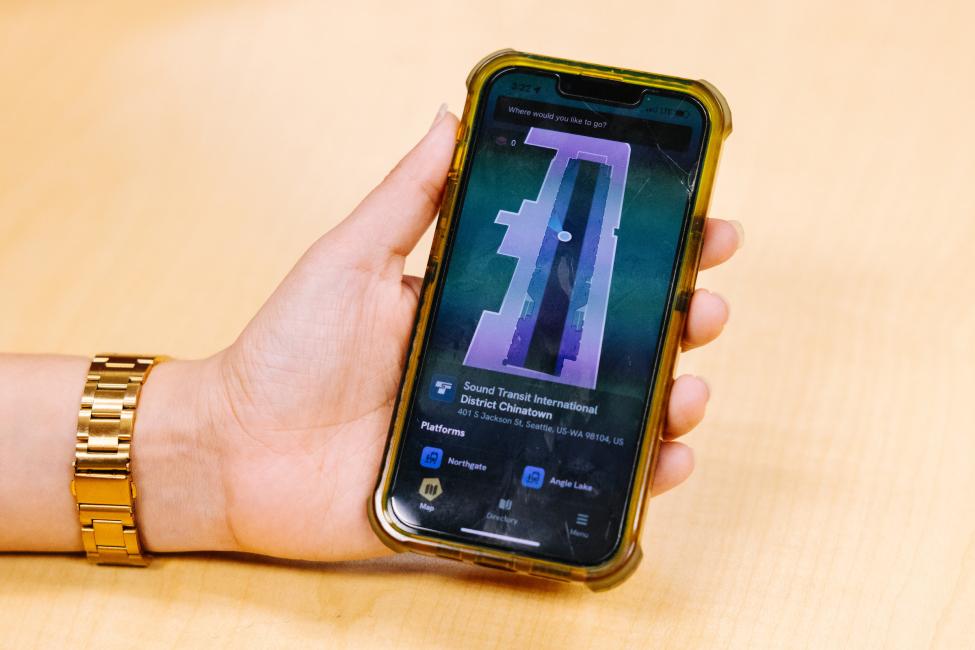
Sound Transit passengers traveling through Westlake and Chinatown-International District stations can now download the GoodMaps app to receive voice, visual, or haptic signal instructions to guide them to station points of interest like station platforms, elevators, ORCA card readers, and information boards.
GoodMaps uses your phone’s camera to detect location with an accuracy of up to 2 inches and then delivers directions via the app to give blind and low-vision passengers, or those with mobility needs, instruction toward the station landmarks.
Passengers can download GoodMaps today in the Apple App Store or Google Play Store.
How it works
Passengers open the GoodMaps app, select their station and receive voice, visual or haptic guidance on how to move through the station to key landmarks.
Once at the station, riders confirm their location, choose whether they prefer elevator-only routes, and then select from dozens of points of interest, including ticket vending machines, ORCA card readers, and station platforms. With the phone positioned vertically and camera pointed outward, the phone’s camera continuously detects the passenger’s location.
If a passenger selects the station’s Northgate platform and chooses accessible routing, the app will provide audio instruction to guide the passenger to the platform via the elevator.
Alice Klein, an instructor from the Department of Services for the Blind’s Orientation and Training Center, participated with advanced technology students and transit users in testing the app in November. She said the GoodMaps app thoroughly reviews the landmarks throughout the station.
“I love the points of interest GoodMaps has built in, that are sometimes not taken into consideration,” she said. “The information board is a perfect example.”
GoodMaps uses light detection and ranging (LiDAR) to create 3D maps of the two Link stations. The app utilizes smartphone camera-based positioning to detect a more accurate location than apps using GPS or Bluetooth technology. GoodMaps is already in use at transit stations in London and at Portland Airport.
What’s next
Westlake and Chinatown-International District stations are the first two Sound Transit stations added to GoodMaps and are part of a six-month pilot program.
After the pilot program, Sound Transit will decide whether to extend it to other Link and Sounder stations.
GoodMaps will be holding its official launch event on Wednesday, Feb. 21 from noon to 6 p.m. at the Westlake Station mezzanine. Stop by to meet the app team in person, test the app for yourself, and share your feedback with the developers!
If you've used GoodMaps we want your feedback! Please take the user survey.
Download GoodMaps:

